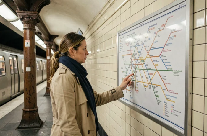
Finding your way around Paris public transport can quickly become a headache. Between the metro lines, the RER that crosses all of Île-de-France, the trams on the outskirts, and the hundreds of bus lines, a simplified map of the network becomes a daily survival tool.
Static map or route planner: two tools, two uses
Have you ever downloaded a PDF map of the metro to prepare for a trip, only to find out on-site that the line was partially closed for maintenance? This discrepancy between the map and the reality on the ground deserves attention.
Île-de-France Mobilités provides several downloadable map formats: regional wall map, pocket map, line-by-line maps, and maps for people with reduced mobility. These documents cover the metro, the RER, the Transilien, and the tramway. They remain reliable for understanding the overall structure of the network and its connections.
However, these PDFs are not updated at the same pace as the construction work and temporary closures. The route planner from RATP or Île-de-France Mobilités, on the other hand, incorporates real-time disruptions. With more than fifty simultaneous construction sites impacting the RER and Transilien network in 2026, consulting a simplified Paris transport network on a static map is no longer sufficient to guarantee a surprise-free journey.
The simplified map helps to understand the network, while the planner is used to plan a specific trip. The two complement each other, but neither replaces the other.

Metro, RER, tramway, and bus in Paris: reading the layers of the network
The Paris network is divided into four overlapping layers. Each has its own logic, coverage area, and speed.
The metro: the dense mesh of inner Paris
The metro serves Paris and its immediate suburbs. The lines are identified by a number and a color. On a simplified map, the directions are displayed by the names of the termini of each line.
The metro operates every day, generally from 6 AM to around 12:45 AM, with extended hours on Friday and Saturday nights. The frequency of service varies depending on the time and day, but it remains high during peak hours.
The RER: connecting the suburbs to the center
The RER lines cross Paris and extend far into Île-de-France. They are designated by letters (A, B, C, D, E). On a simplified map, the RER often appears in thicker lines than the metro, as its lines cover much longer distances.
Note: RER lines B, C, and D are particularly affected by renovation work in 2026. A PDF map downloaded a few weeks ago may already be outdated for these sections.
Tramway and bus: local service
The tram mainly runs on the outskirts of Paris, along the boulevards des maréchaux and in the suburbs. The bus lines crisscross both Paris and the entire region.
On a simplified map, bus lines are often omitted or reduced to the main routes. This is a readability choice: representing the entirety of the bus network would make the map unreadable. For bus journeys, the route planner remains the most suitable tool.
Accessibility of Paris transport on the simplified map
Are you looking to find out if a station is accessible by wheelchair or with a stroller? Standard metro maps do not always clearly indicate this. Île-de-France Mobilités offers specific maps for people with reduced mobility, which highlight stations equipped with elevators and ramps.
The reality remains mixed. A large number of Paris metro stations, built in the early 20th century, do not have elevators. The RER and tramway are generally more accessible than the metro.
- Tramway lines are accessible at ground level, making them suitable for wheelchairs and strollers.
- Recent or renovated RER stations include elevators and tactile paving.
- Parisian buses are equipped with deployable access ramps operated by the driver.
If accessibility is a condition for your travels, prioritize routes that combine tramway, bus, and RER rather than just the metro.

Validating your transport ticket: bank card and Navigo on smartphone
The simplified map shows the lines and stations, but it says nothing about how to pay. This aspect is evolving rapidly.
The Navigo pass remains the main transport ticket for regular journeys in Île-de-France. For occasional trips, the Navigo Easy can be recharged with single tickets or booklets.
Recently, it has become possible to validate your journey directly with a bank card at certain lines and stations, without purchasing a ticket in advance. The rollout of this feature is gradually expanding across the network.
The Navigo on smartphone allows you to dematerialize your pass on certain compatible phones. No need for a physical card: the phone serves as a transport ticket at the validation gates.
- Classic Navigo: monthly or annual subscription, unlimited throughout Île-de-France.
- Navigo Easy: rechargeable card with single tickets or booklets, suitable for visitors or occasional trips.
- Bank card: contactless validation directly at the terminals, with billing at the best daily rate.
- Navigo on smartphone: same functionality as the physical card, available on compatible devices.
New lines and extensions of the Île-de-France network
The Paris network no longer resembles what it was five years ago, and simplified maps must keep up. The commissioning of the first section of line 18 between Massy-Palaiseau and Christ de Saclay is scheduled for October 2026, with four stations.
Investments in the renovation of existing stations and lines have significantly increased compared to the previous contract. This means that static maps will age even faster in the coming months, between the opening of new stations and temporary closures related to construction work.
Downloading a simplified map of the network remains a good reflex for getting an overall sense of direction. But combining it with a real-time route planner, especially on RER lines under construction, avoids many unpleasant surprises on the platform.